World urban agglomeration
An urban agglomeration is a continuous urban spread constituting a city or town area, comprising the built-up area of a central place (usually a municipality) and its adjoining outgrowth or suburb.
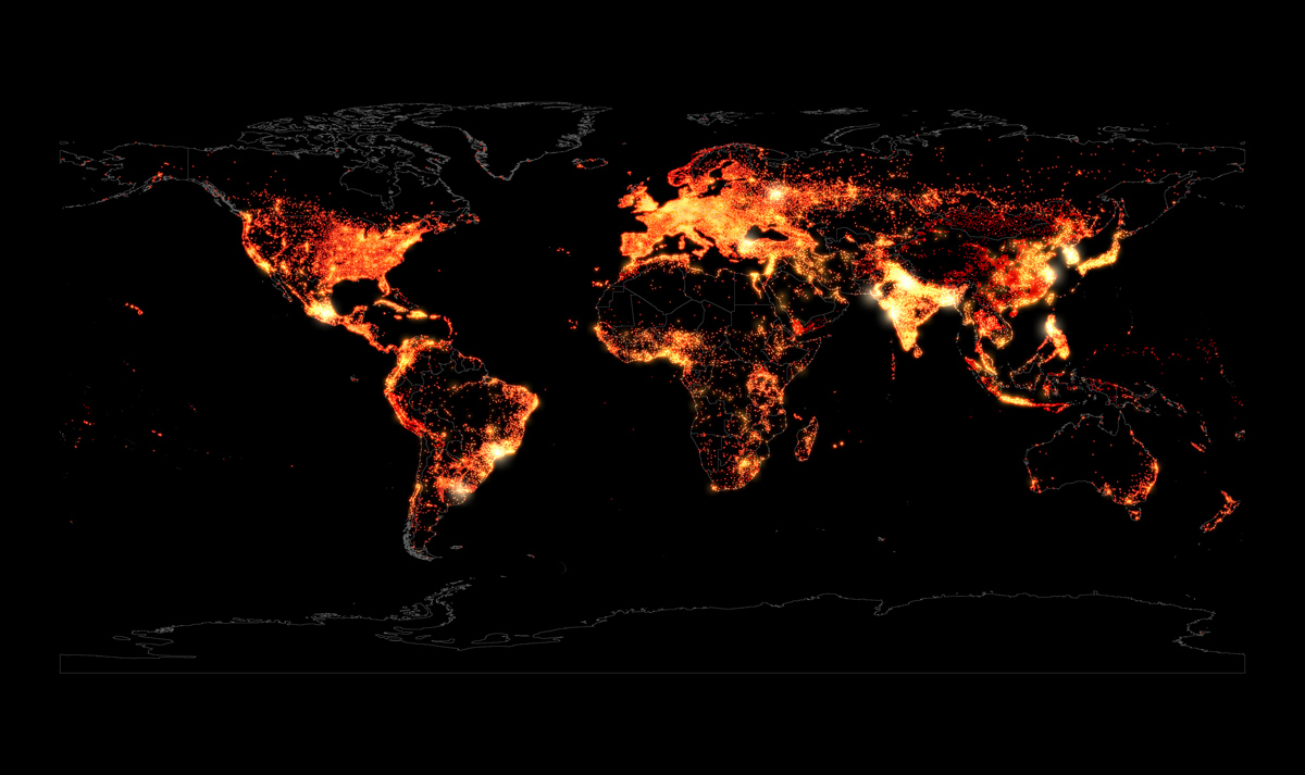
This map shows the major cities and urban agglomerations of the world. The brighter color indicates the higher population concentration, whereas the dull color indicates less population. Major agglomerations of the world are highlighted, eg. in Japan, China and South-east Asia, Indian Subcontinent. This map also depicts the world urban population distribution, eg. the coastal regions of the Atlantic have higher concentration of urban population, especially in Americas and Europe.
Data source: GeoNames


